Map Catalog

Thursday, November 22, 2012
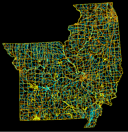
DLG

http://www.mapcruzin.com/images/1-2000000-dlg-data-map--illinois-missouri-450x465.png

DLGs, or digital line graphs, are digital systems that, alone, are not maps. They work with data sets and project the data onto different types of maps in the form of colored lines or shading. The data is displayed on different scales.
Posted by Unknown at 11:03 AM
Email ThisBlogThis!Share to XShare to FacebookShare to Pinterest

No comments:

Post a Comment

Newer Post Older Post Home
Subscribe to: Post Comments (Atom)

Blog Archive

  • ▼  2012 (47)
    • ▼  November (47)
      • DOQQ
      • Univariate Choropleth Map
      • Nominal Area Choropleth Map
      • Cartographic Animation
      • Classed Choropleth map
      • Continuously Variable Proportional Circle Map
      • Similarity Matrix
      • Correlation Matrix
      • Windrose
      • Lorenz Curve
      • Standardized Choropleth Map
      • Parallel Coordinate Graph
      • Triangular Plot
      • Climograph
      • DEM
      • Isoline Maps
      • Black and While Aerial Photos
      • Infrared Aerial Photo
      • Thematic Maps
      • Mental Map
      • Cadastral Map
      • Proportional Circle Map
      • DLG
      • DRG
      • Propaganda Map
      • PLSS Maps
      • Star Plot
      • Stem and Leaf Plot
      • Box Plot
      • Histogram
      • Bivariate Choropleth
      • Scatterplot
      • Isopleth
      • Isopachs
      • Isohyets
      • Isotach
      • Isobar
      • Doppler Radar
      • Cartogram
      • Bilateral Graph
      • Hypsometric Map
      • Choropleth Map
      • LIDAR
      • Flow Map
      • Dot Distribution Map
      • Topographic Map
      • Planimetric Map

About Me

Unknown
View my complete profile
Simple theme. Powered by Blogger.