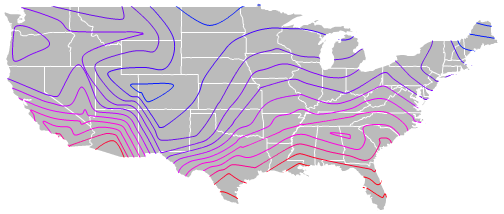
An isoline map is simply one with contour lines running through it. These contour lines connect places with similar data values pertaining to the purpose of the map being displayed. There are many types of isoline maps that all have different purposes. Some examples are isobars (pressure), isotachs (wind speed), and isohyets (rainfall).
No comments:
Post a Comment