Map Catalog
Wednesday, November 21, 2012
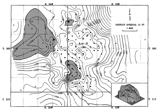
Isopachs
http://www.kgs.ku.edu/Publications/Oil/gifs/fig10_2.gif
Isopachs are contour lines that display stratified thickness of rock layers on topographical maps.
No comments:
Post a Comment
Newer Post
Older Post
Home
Subscribe to:
Post Comments (Atom)
No comments:
Post a Comment