http://lter.kbs.msu.edu/wp-content/uploads/2012/06/Topographic-map-DRG.jpg
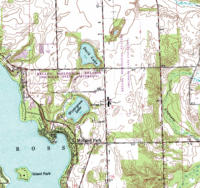
DRGs, or digital raster graphs, are paper maps that have been scanned onto a computer to be projected in UTM format. These maps get georeferenced to the surface of the Earth but are rarely used in actual GIS.
No comments:
Post a Comment